English_Channel.chase.jpg
(49 KB)
|
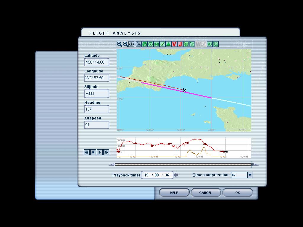
Here is the chase plane view of the Spirit over the English Channel. There is a cruise ship near here and a container ship near La Havre. You probably need to have the display settings turned up high to see them. I usually keep the settings low to keep the simulation smooth. |
English_Channel_VC.jpg
(101 KB)
|
On the left is the Virtual Cockpit view. You can fly from this but unless you tweak the zoom, the guages can be hard to read.
|
|
On the right is the regular cockpit view. The gauges have better resolution and you can toggle with the W key to remove the panel and see forward with a subset of the panel gauges or without.
|
English_Channel.jpg
(169 KB)
|
| I was somewhat surprised to find a 1900 foot tall hill in the south of England. Since I have never been there, I do not really know what it is like but I was surprised to find a hill this tall so close to the sea. Since Lindburg typically flew close to the sea, and I assume, not very high over land, this could have spelled trouble if you cannot see forward and were not expecting it. |
English_Channel_FA.jpg
(89 KB)
|
English_Channel_map.jpg
(84 KB)
|
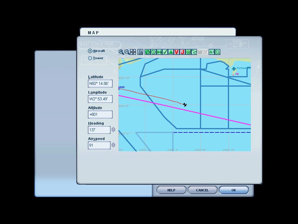
This map view is mainly just to show how it looks. With the buttons at the top you can toggle various map symbols show/noshow. |

English_Channel_tower.jpg
(37 KB)
|
On of the mysteries of the FS Tower View is " where is the tower?". The map view has a token that indicates where the nominal tower (usually at the departure airport) is but it does not necessarily move. Sometimes the tower view is looking and an empty sky. And here, for some unknown reason, you can actually see the airplane. |
Evreux_sunset.jpg
(87 KB)
|
Near_Paris.jpg
(72 KB)
|
Paris.jpg
(88 KB)
|
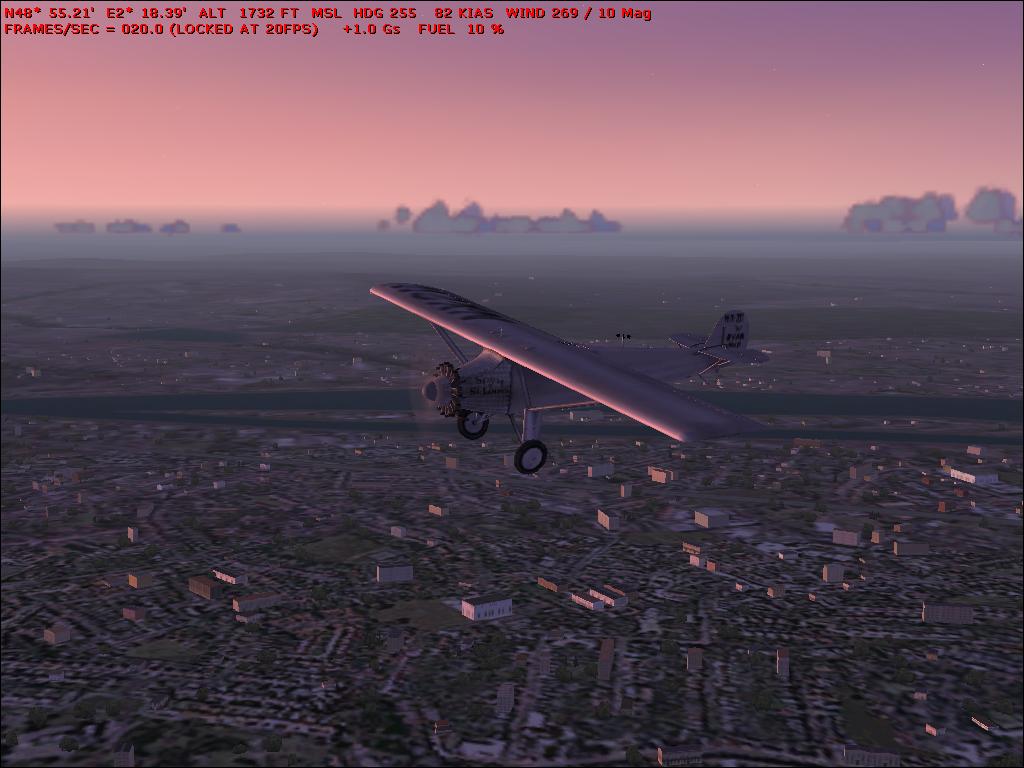
The pictures above are at sunset over the Seine River Valley. At below left is the fly-by of Eiffel Tower. And on the ground. |
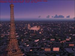
Paris_Eiffel.jpg
(105 KB)
|

ExitRunway25.jpg
(42 KB)
|

Sundown.jpg
(56 KB)
|
|
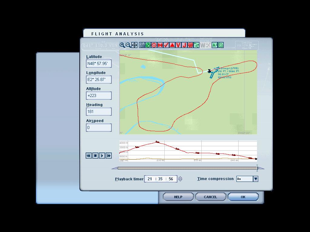
| This is the display from the Flight Analysis tool which shows how I approached Paris. The after intersection just before Le Bourget, I flew down to circle the Eiffel Tower which accounts for the large loop and the low altitude. After the fly-by, I gained altitude to avoid buildings etc. on the way to Le Bourget. I amazed myself by landing on the first try. |
ApproachFinalLFPB.jpg
(89 KB)
|